Measuring Maine
Maine's top choice for surveys & mapping for over 50 years
Schedule a consultation with one of our experienced surveyors today
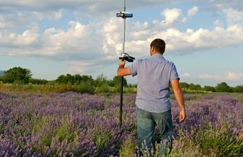
Our team of skilled surveyors utilizes the latest tools and techniques to provide comprehensive land surveying services for a wide range of projects. From residential properties to large-scale commercial developments, we are committed to delivering reliable and precise data to help you make informed decisions.
Why Choose
Plisga & Day

A large team of professionals
Different surveyors may specialize in different areas such as topographical surveys, boundary surveys, or construction surveys. With a diverse team of experts, you can be assured that your surveying needs will be met with the highest level of accuracy and professionalism.

Investing in the latest technology
We believe in utilizing the latest technology to provide our clients with the highest level of precision and efficiency. With our expertise and our advanced tools, we ensure your project is completed with accuracy and speed. Trust us to provide you with the best land surveying services available.

Large collection of historical records
Our experienced team uses these records to deliver accurate and reliable land surveying services that meet your needs. Trust us to help you understand the history of your property and make informed decisions about its future.

Over Fifty Years of Experience
Over fifty years of experience delivering top-quality land surveying services. Our experienced team has worked on a variety of projects, both big and small, and is dedicated to providing the highest level of accuracy and professionalism. Trust us to use our expertise to deliver the results you need, on time and within budget.
BOUNDARY SURVEYING
Title research, field investigation, road review, corner monumenting and line marking. Find out more about all our Boundary Surveying.

DEVELOPMENT SERVICES
Topographic surveys, land use planning, enviromental permitting and construction layout. Find out more about all of our Development Services.
Learn More
MUNICIPAL SERVICES
Boundary retracement, boundary perambulation, tax mapping, GIS/LIS base mapping and attribute location. Find out more about all of our Municipal Services.
CONTROL SERVICES
Plisga & Day sets control for a wide variety of projects. The control monuments may be either permanent or temporary. Find out more about all of our Control Services.
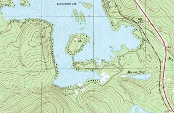
CARTOGRAPHY
CAD design & drafting, GIS & CAD file translation, large format scanning and plotting. Find out more about all of our Cartographic Services.
Learn More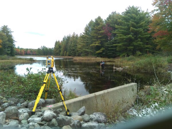
Specialty Services
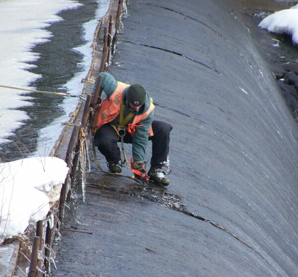
Hydrographic, robotic surveying, RTK stakeout & location, volume monitoring, accident site mapping. Find out more about all our Specialty Services.
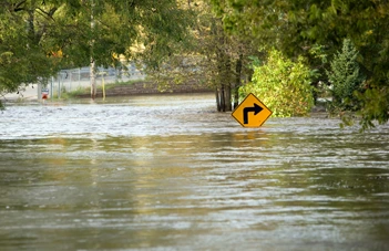
FLOOD SERVICES
Plisga & Day have assisted hundreds of clients with property on the Maine Coast, inland lakes, rivers and streams. Find out more about all of our Flood Services.

Insurance Support
We support attorneys with Insurance Support reviews or claims. We review title reports and provide additional research. Find out more about all of our Insurance Services.
Learn More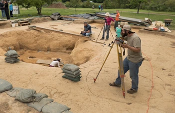
Expert Witness
Our experienced surveyors have supported clients as an expert witness in arbitration, depositions and court testimony. Find out more about all of our Expert Services.
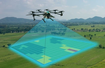
Drone Service
Our drone services provide high-resolution aerial imagery that enables us to capture detailed data and create precise maps of your property.
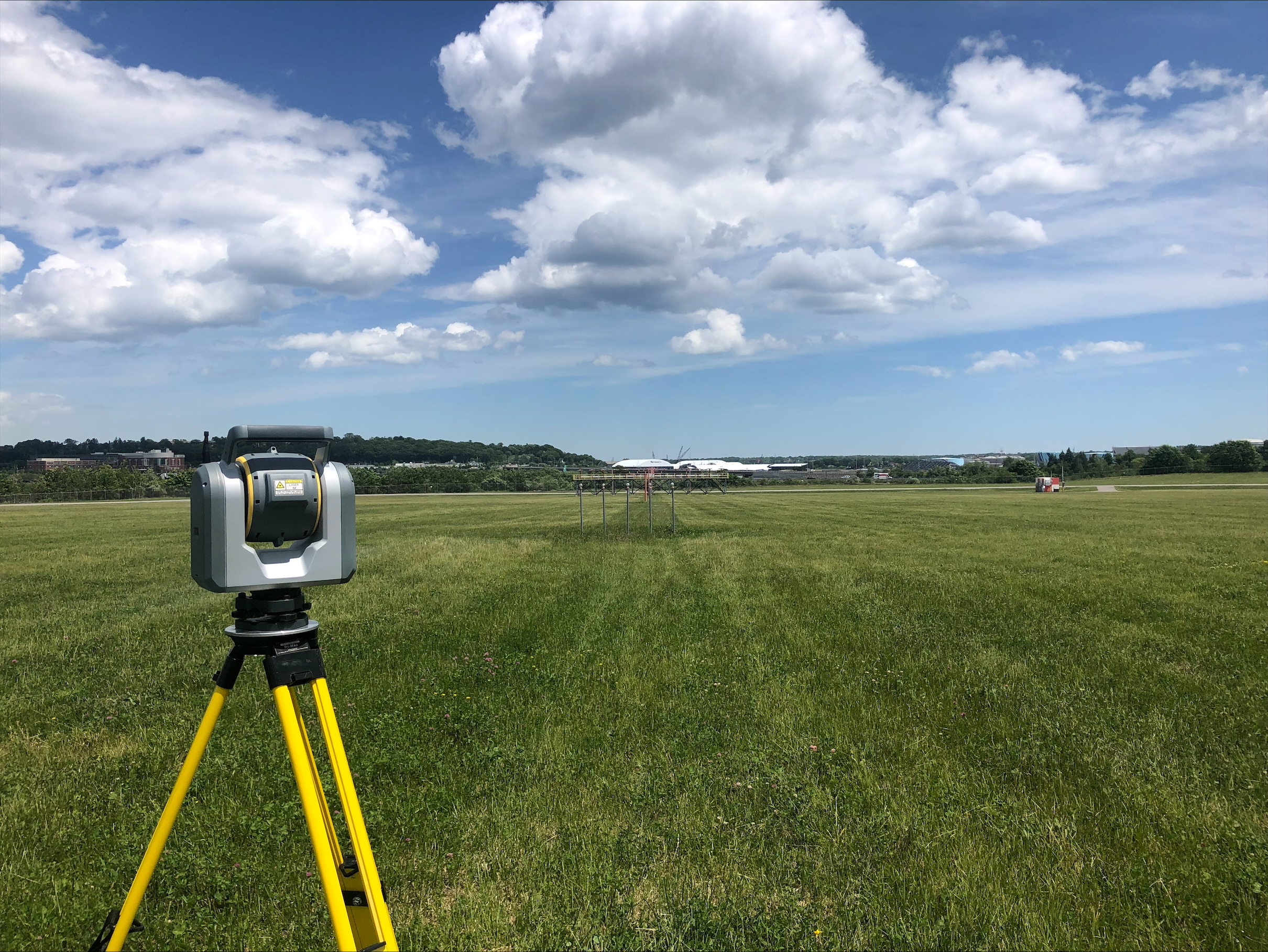
Laser Scanning Service
Our land surveying company offers 3D laser scanning services for clients who require highly detailed and accurate data. By using advanced laser scanning technology, we can capture millions of data points to create a 3D point cloud model of the surveyed area.
Learn More
Alternative Energy Sites
As the demand for renewable energy continues to grow, we offer land surveying services for solar farm development.