Services

Alternative Energy Sites
Solar Farm Surveys As the demand for renewable energy continues to grow, we offer land surveying services for solar farm development. Our team of experienced land surveyors uses the latest technology to provide detailed and accurate surveys for solar energy projects. By using advanced surveying techniques, we can identify the best areas for solar panels … Read More
Laser Scanning Service
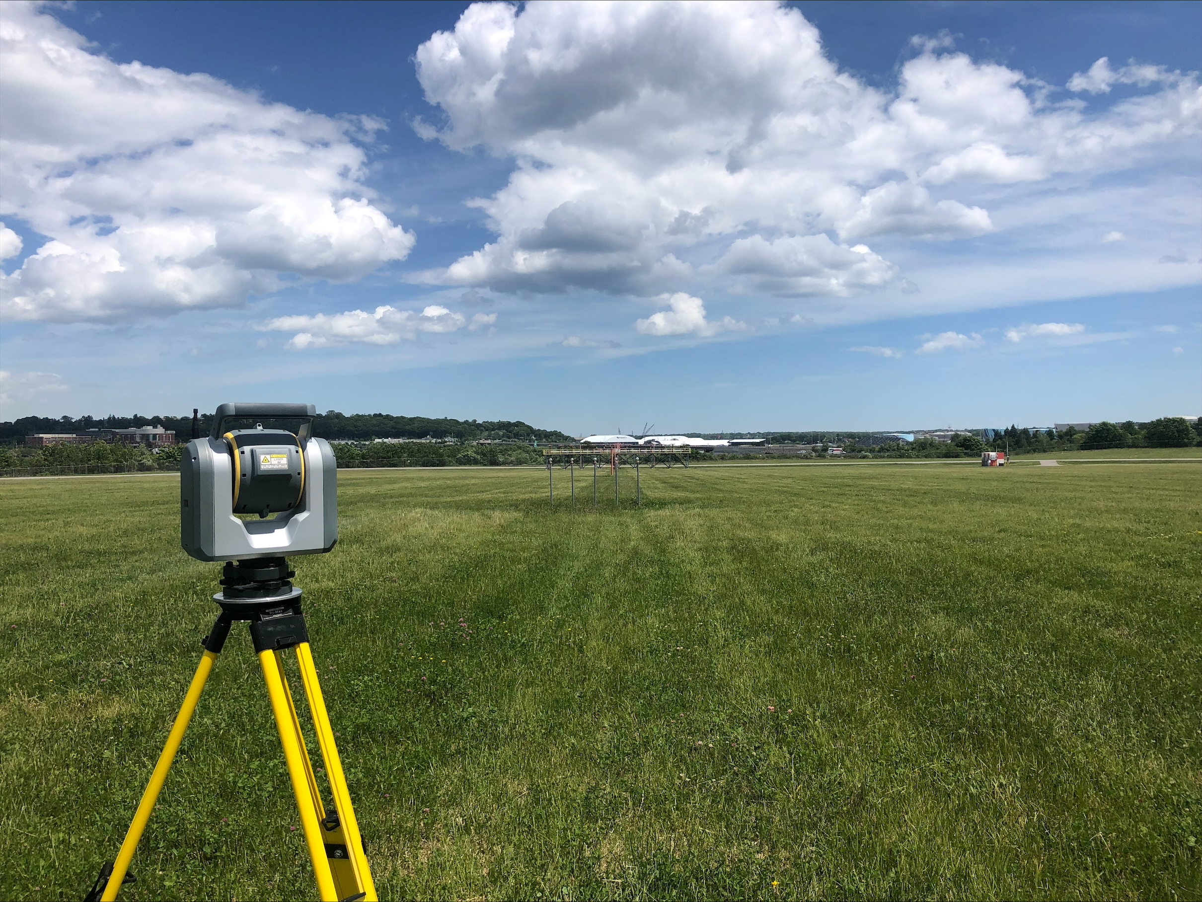
3D Laser Scanning Our land surveying company offers 3D laser scanning services for clients who require highly detailed and accurate data. By using advanced laser scanning technology, we can capture millions of data points to create a 3D point cloud model of the surveyed area. This allows us to create highly accurate and detailed maps, … Read More
Drone Service
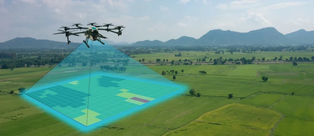
Plisga & Day Land Surveyors provides high-precision aerial mapping, inspection, and data analysis for various industries. Using state-of-the-art UAV technology, utilizing the latest LiDAR, photogrammetry, and thermal imaging technology to ensure precise data collection that provide high-resolution ortho-mosaic imagery, topographic maps, and 3D point clouds or inspecting hard-to-reach structures. Our drones reduce time, cost, and … Read More
Expert Witness & Litigation Support
Over time our experienced surveyors have been called to support clients as an expert witness in arbitration, depositions and court testimony. Litigation necessitates our support in the areas of boundary opinion regarding the collection and discovery of facts that may lead to evidence that support right of way locations, deed interpretations, measurement techniques and location … Read More

Title Insurance Support
We also work to support attorneys with Title Insurance review or claims. Our surveyors review title reports, provide additional research in town and county records and upon request will search for private records.Often with commercial clients, we prepare ALTA / ACSM Land Title Surveys for a property or a chain of properties. These services may … Read More
Flood Elevation and Letter of Map Amendment
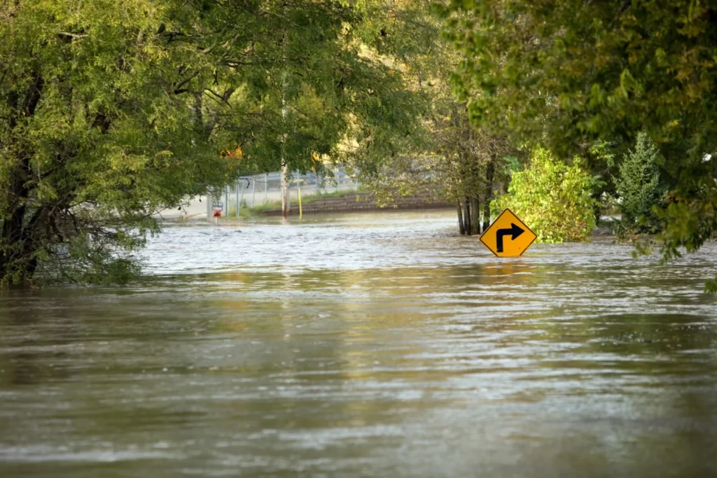
Plisga & Day have assisted hundreds of clients with property on or adjacent to the Maine Coast, inland lakes, rivers and streams. Are you in the flood zone?If you are close to the flood zone and when you use bank financing to purchase a home, camp or cottage or to construct a new building, often … Read More
Cartography
Plisga & Day’s extensive use of mapping tools making maps for site mapping and boundary purposes extends into the creative developing custom creations such as recreational trail maps, conservation trust exhibits, land cards, access maps, depth maps and color coded buried utility maps. Our use of CAD and Geographic Information Systems allows for complex datasets … Read More
Specialty Services
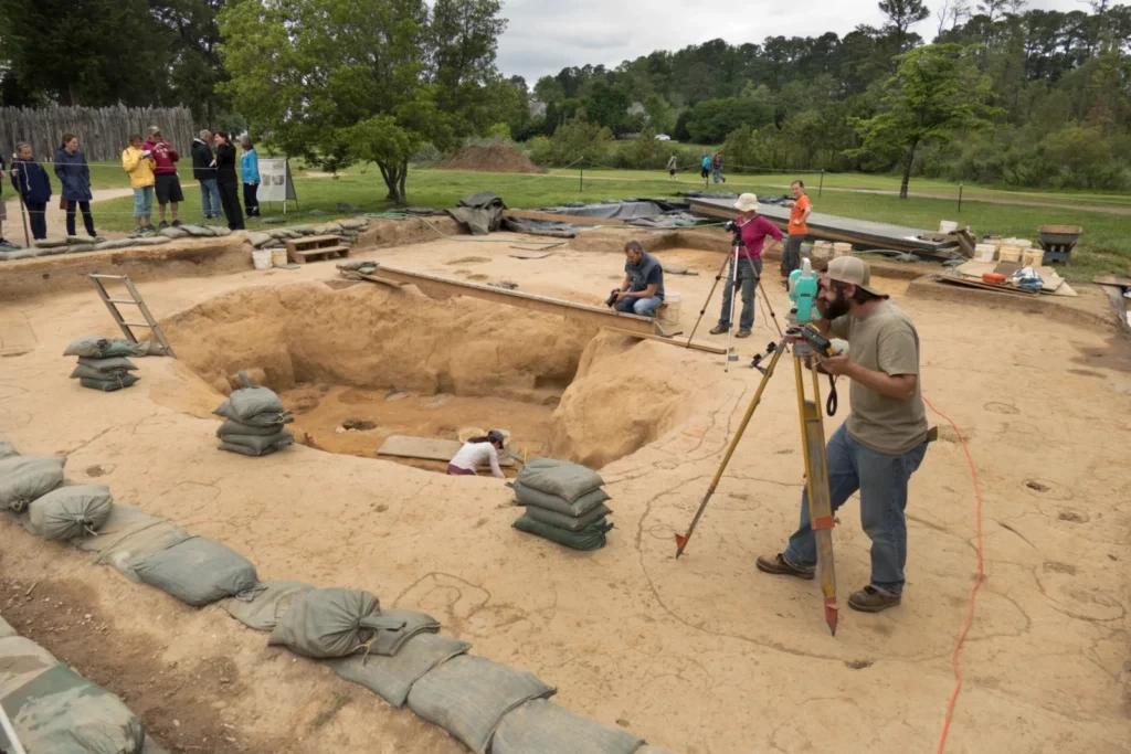
Plisga & Day enjoys the challenge of unique surveying applications by adapting or creating measuring techniques and technologies. Capabilities: Mean High Water Survey Hydrographic Accident Site Mapping Environmental Site Mapping Mean High Water Survey Hydrographic Accident Site Mapping Environmental Site Mapping Volume Monitoring Surveying with Robotics RTK Stakeout and Location Static GPS Volume Monitoring Surveying … Read More
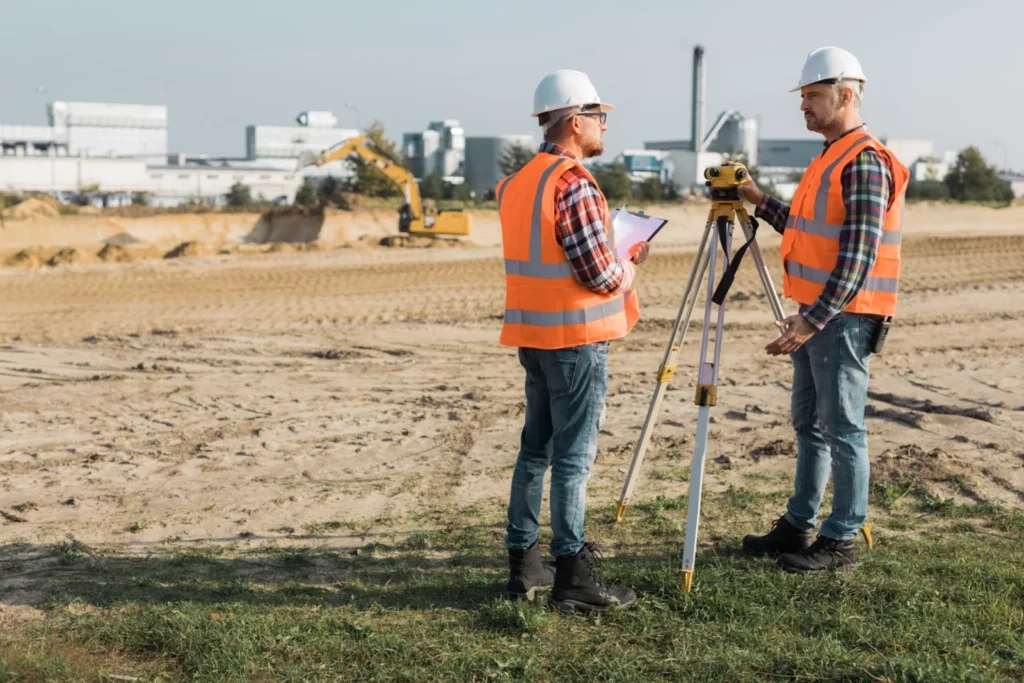
Control Services
Plisga & Day sets control points or baselines for a wide variety of projects. The control monuments may be simple nails for short turnaround building, road and construction projects or more permanent buried concrete or stone for city wide control, landfill monitoring or dam deformation studies. The control information can be coordinated and shared with … Read More
Municipal Services
Plisga & Day works with many towns and cities to accommodate the needs of today’s growing communities. Capabilities: Municipal Boundary Retracement Municipal Boundary Perambulation Road Right of Way Boundary Location Tax Mapping Comprehensive Plan Mapping GIS / LIS Base-mapping and Attribute Location Municipal Boundary Retracement including town line marking. Several examples of past and ongoing … Read More