Drone Service
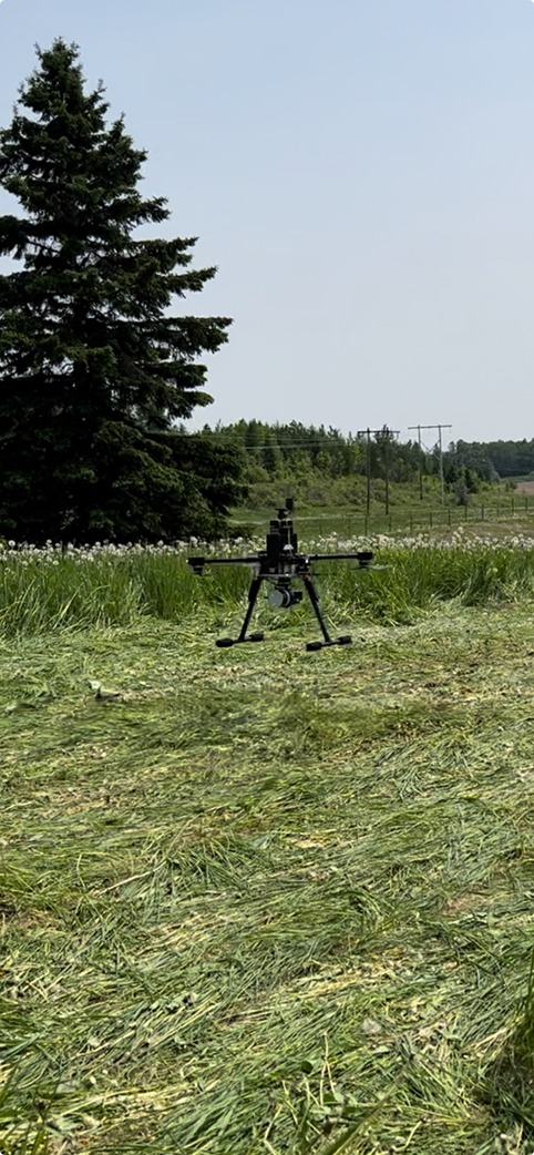
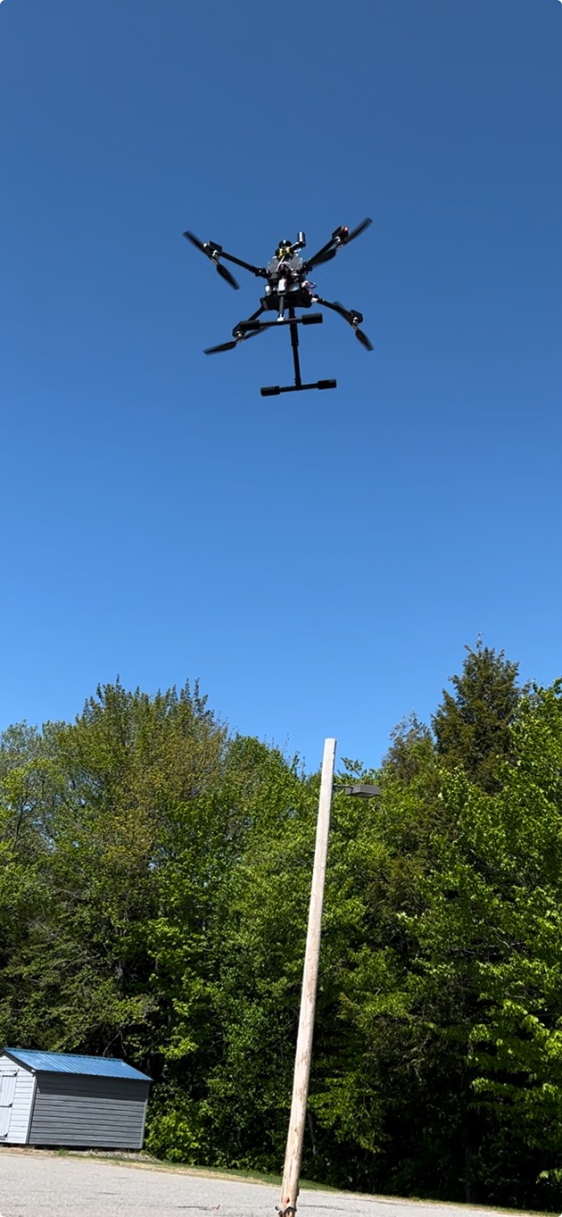
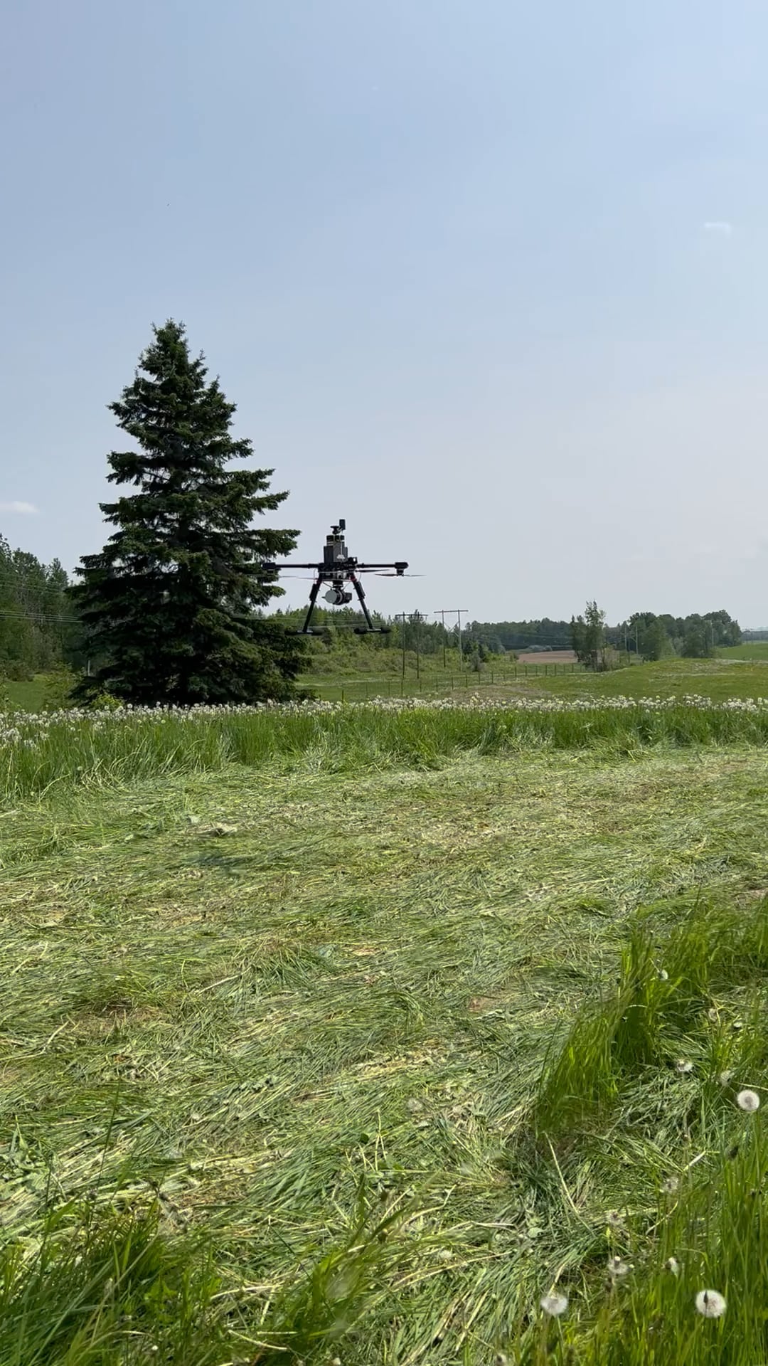
Plisga & Day Land Surveyors provides high-precision aerial mapping, inspection, and data analysis for various industries. Using state-of-the-art UAV technology, utilizing the latest LiDAR, photogrammetry, and thermal imaging technology to ensure precise data collection that provide high-resolution ortho-mosaic imagery, topographic maps, and 3D point clouds or inspecting hard-to-reach structures. Our drones reduce time, cost, and safety risks compared to traditional surveying method. We are FAA 107 certified and comply with all regulatory requirements to maintain the highest safety standards in every project.
High-Resolution Aerial Imagery
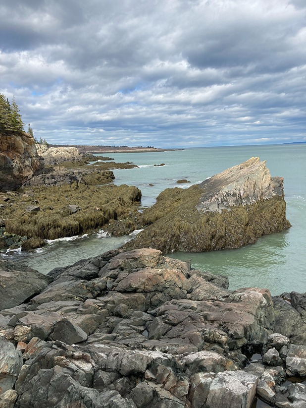
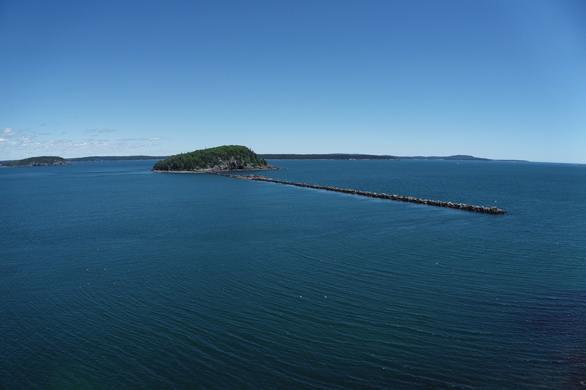
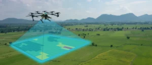
Our drone services provide high-resolution aerial imagery that enables us to capture detailed data and create precise maps of your property. This data can be used to create 2D and 3D models, digital elevation maps, and orthophotos. The high-resolution imagery we obtain from our drones can be used to identify areas of erosion, drainage problems, and other issues that may affect land development or construction projects. With our drone services, we can quickly and efficiently capture data that would take weeks or even months to obtain using traditional surveying methods.
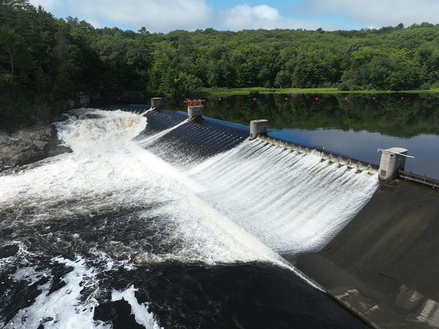
Topographical Data Collection
Our drone services provide topographical data collection that enables us to capture detailed information about the land’s contours and elevations. This data is vital when it comes to land development and construction projects, as it helps our clients identify the best areas for construction, roadways, and other infrastructure. By using drones, we can access areas that may be difficult or impossible to survey using traditional methods, such as steep slopes or heavily wooded areas. This allows us to provide our clients with more accurate and detailed topographical data.
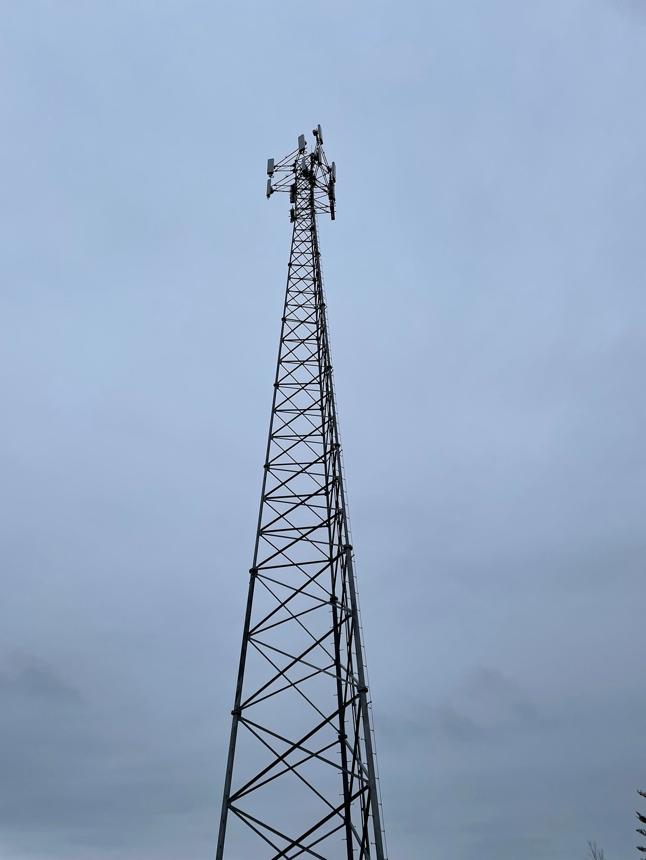
Inspection Services
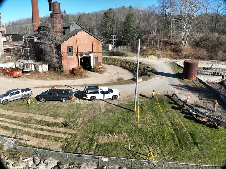
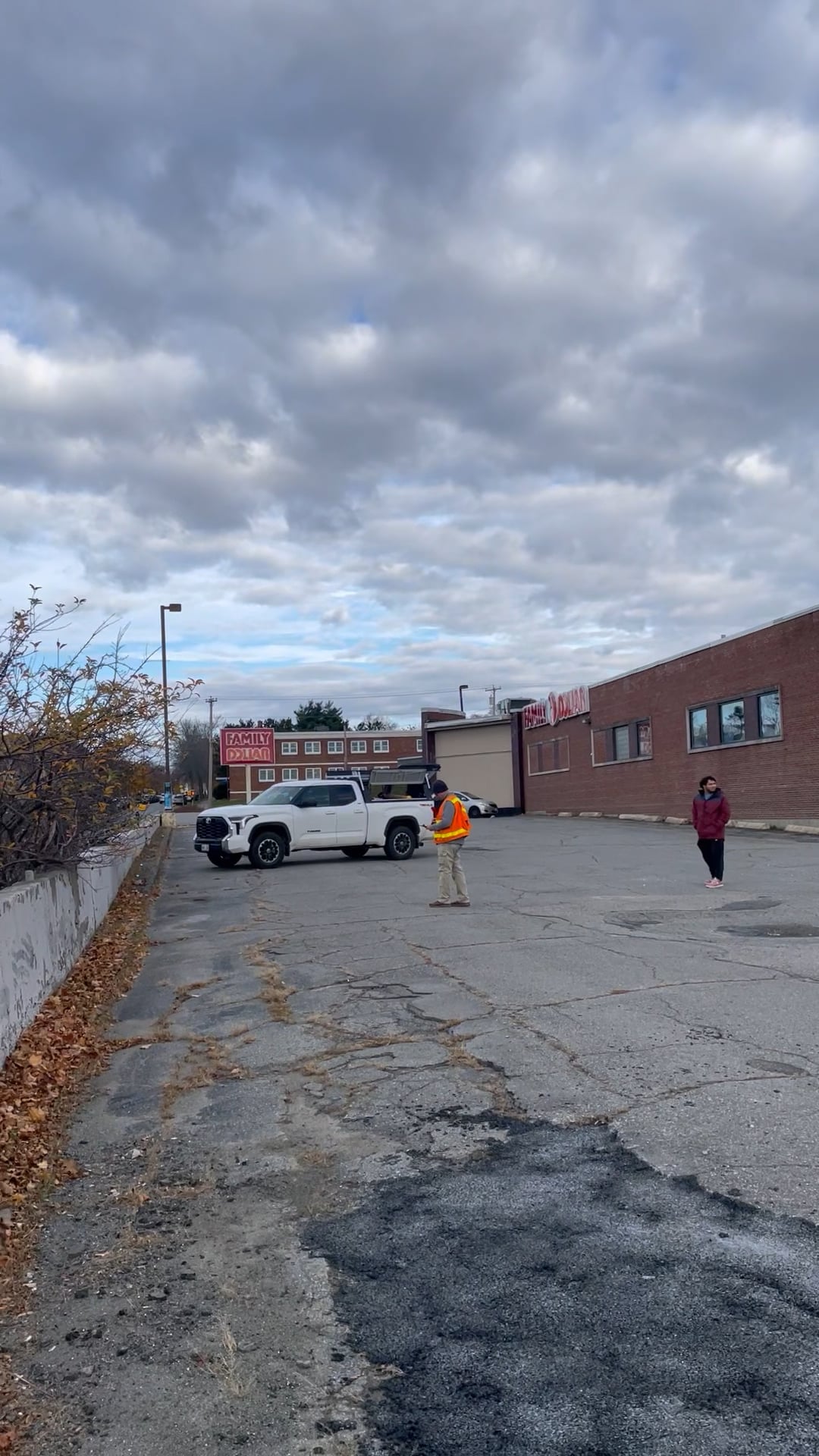
Our drone services also provide inspection services for land development and construction projects. We can use drones to inspect structures, such as buildings, bridges, and towers, for damage or other issues. This enables us to identify potential problems early on, which can save our clients time and money in the long run. We can also use drones to inspect construction sites for compliance with local regulations and safety standards.
Faster and More Efficient Services
Using drones for land surveying and inspection services allows us to provide faster and more efficient services to our clients. With drones, we can capture data quickly and easily, without the need for traditional surveying equipment, which can be time-consuming and costly. This means that our clients can get the information they need in a shorter amount of time, which can help them make better-informed decisions about their land development and construction projects.