Municipal Services

Plisga & Day works with many towns and cities to accommodate the needs of today’s growing communities.
Capabilities:
- Municipal Boundary Retracement
- Municipal Boundary Perambulation
- Road Right of Way Boundary Location
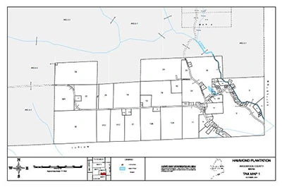
- Tax Mapping
- Comprehensive Plan Mapping
- GIS / LIS Base-mapping and Attribute Location
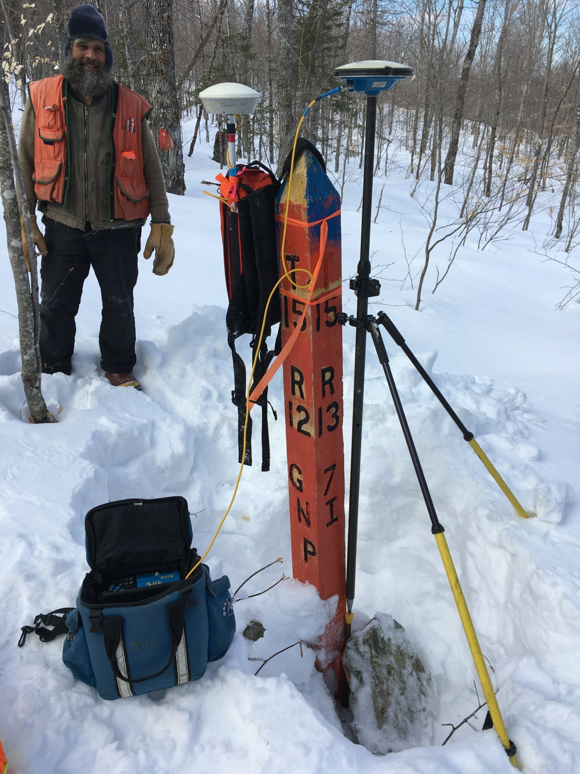
- Municipal Boundary Retracement including town line marking.
Several examples of past and ongoing projects include:
- Town Line determination and monumentation of several towns in Maine.
- Site plans of all the cemeteries in Holden, Maine. The plans included the approximate location of graves and the names on headstones.
- Tax maps for several towns including Greenbush and Exeter, Maine.
- Comprehensive plan mapping for towns which show geographical features, zoning districts, major wetlands and other important considerations of the town.
- Base mapping control for municipalities such as Waterville, Maine (1990) and Killingly, Connecticut (2000).